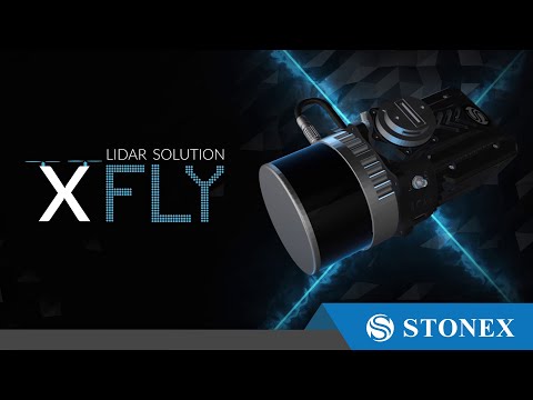
XFly LiDAR Solution
The XFLY series combines an advanced Inertial Navigation System with a camera and LiDAR to generate point clouds. Customers can choose from a range of sensors, including the Hesai LiDAR XFLY120 and XFLY300, to meet their specific needs.
The processing platform features a Wi-Fi interface, an embedded cellular modem for RTCM corrections, data logging software, and a gigabit Ethernet network.
Thanks to its high-performance INS, the XFLY series produces clear point clouds even at high AGL. The system is small, lightweight, and low-power, allowing for longer flights and adapting to the needs of any project. The post-processing software generates point clouds fully automatically.