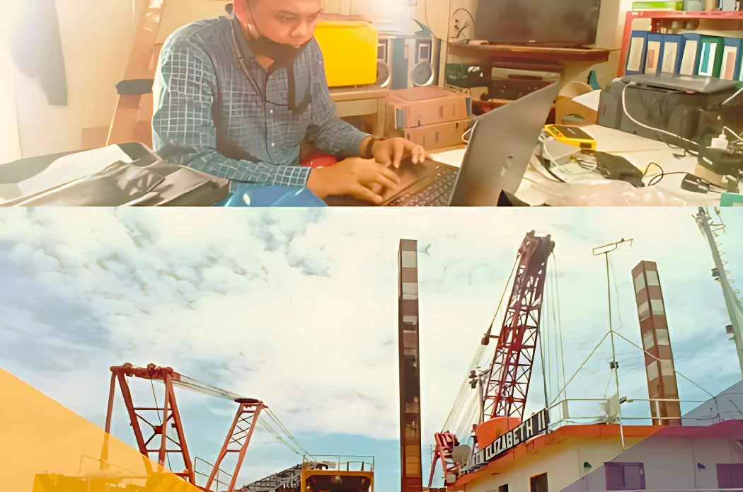
PT Oseanland Services Indonesia, a proud subsidiary of the Oseanland Group, specializes in delivering high-quality Geospatial, LiDAR, and Hydro-Oceanography services. Backed by over a decade of industry experience and expertise, our team is dedicated to producing comprehensive and cost-efficient solutions tailored to meet the diverse needs of our clients.
We are committed to maintaining the highest standards of professionalism and innovation, ensuring our services consistently exceed client expectations while offering exceptional value.
We are committed to maintaining the highest standards of professionalism and innovation, ensuring our services consistently exceed client expectations while offering exceptional value.

Our Vision & Mission
Our Vision
Be the top company on Indonesia as a services provider of smart solutions in the fields of Geospatial, LiDAR, and Hydro-Oceanography.
Our Mission
Deliver high-quality, accurate, and cost-effective geospatial and marine survey services that empower our clients decision making processes. Continuously innovate and adopt cutting-edge technology in LiDAR and hydrographic data acquisition and analysis.

CEO’s Welcome Notes
Welcome to Oseanland Services Indonesia (OLSI).
Established in 2021, OLSI has rapidly evolved into a premier provider of Geospatial, LiDAR, and Hydro-Oceanography services. Renowned for our commitment to quality, innovation, and technical proficiency, we deliver exceptional results that consistently meet and exceed client expectations. At the heart of our success is a team of dedicated professionals whose ownership mindset fosters a culture of excellence, collaboration, and continuous improvement.
With extensive experience across topographic mapping, GNSS surveys, LiDAR data acquisition, and bathymetric analysis, our core team has also pioneered the development and integration of proprietary OLSI survey systems.
Guided by our tagline #WeProvideYouBetter, we approach every project with precision, integrity, and a client-centric focus.
Innovation in Action
Our Services
LiDAR and Photogrammetry Service
With over a decade of specialized experience, we have developed the capability to seamlessly adapt our in-house tools and optimized workflows to meet the unique requirements of each UAV LiDAR and photogrammetry project.
Realtime Monitoring Service
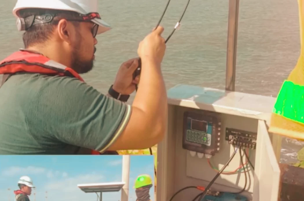
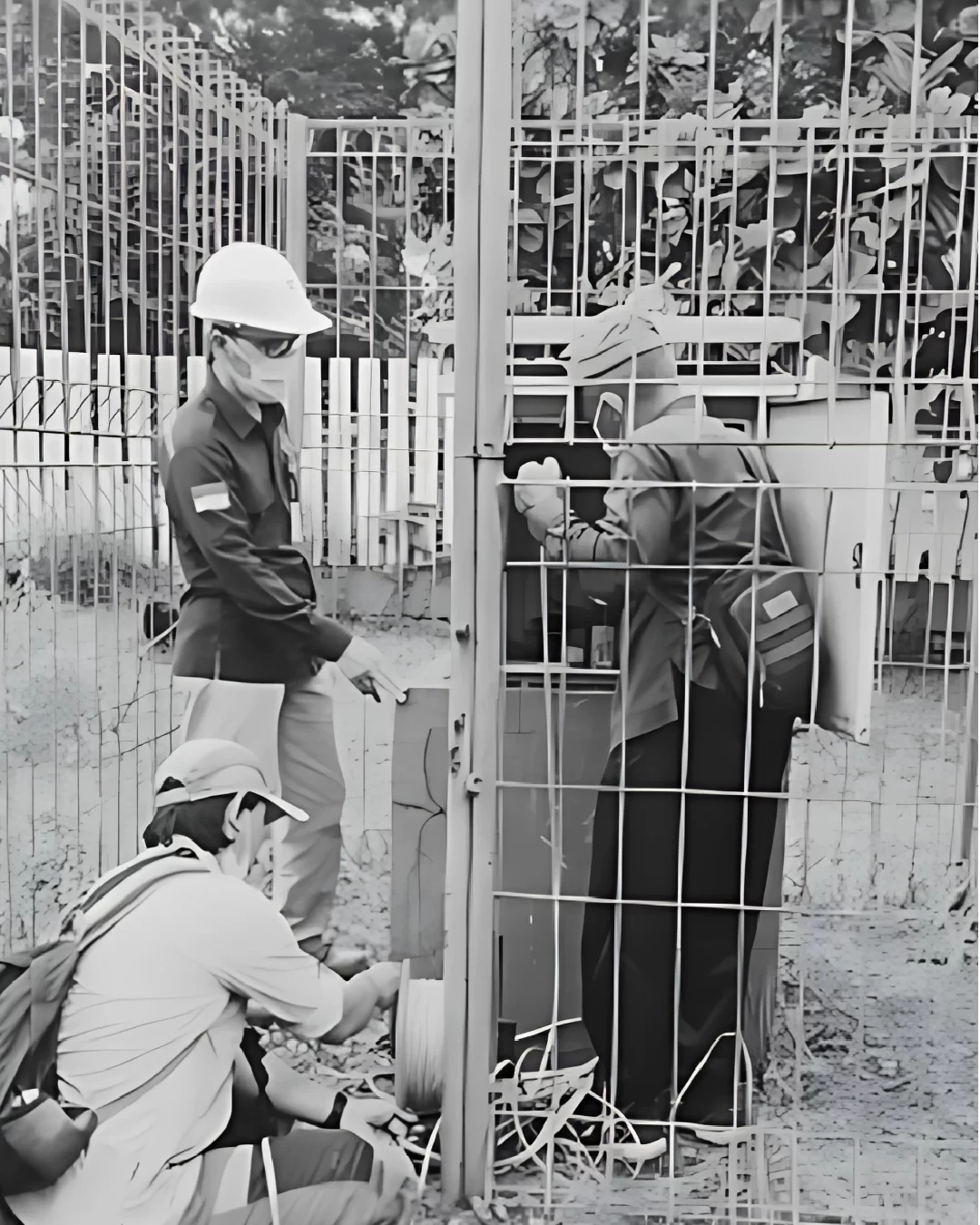
We deliver automated real-time monitoring solutions designed to detect structural and ground movement with high accuracy. Our services empower surveyors, engineers, and construction professionals to make decisions with confidence.
Hydro-Oceanography Service
We specialize in integrating bathymetric, oceanographic, geophysical, and topographic components into cohesive, multidisciplinary survey solutions

3D Mapping Survey Services
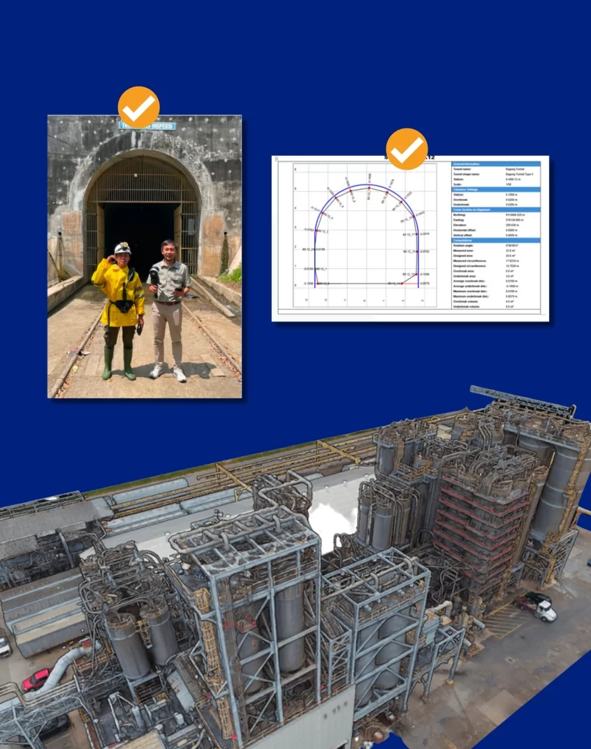
We offers advanced 3D mapping solutions that enhance efficiency, sustainability, and profitability across various sectors using advanced 3D mapping technology (Drone LiDAR, SLAM technology & 3D terrestrial laser scanner)
Topographic Survey Services
We provide precise and reliable topographic survey services tailored to support planning, design, and engineering needs. Utilizing advanced technologies such as robotic total stations, reflector-less instruments, and high precision GNSS receivers.

Rent Equipment
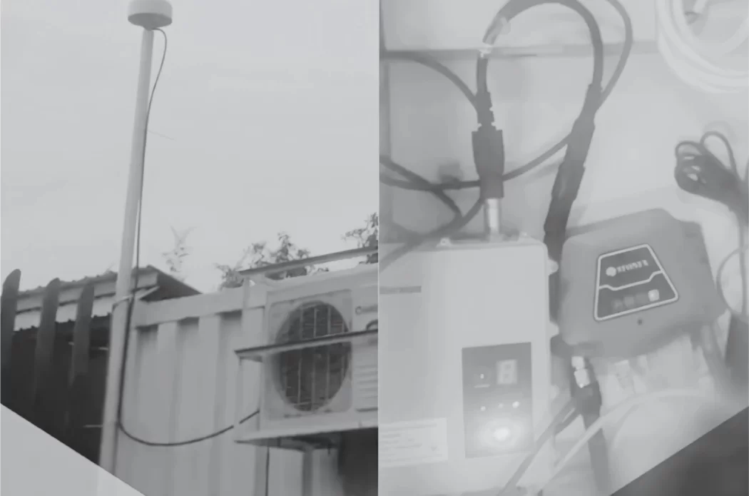
We own and operate our own specialized equipment to support the entire survey process, and also offer equipment rental services to meet project-specific needs.

LiDAR & Photogrammetry
SERVICES
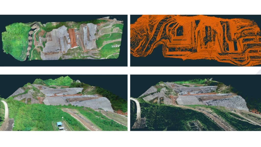
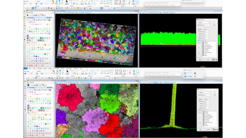
With over 10 years of proven expertise in UAV LiDAR and photogrammetry surveys, our team at Oseanland Services Indonesia delivers precise and highly detailed solutions tailored to your project needs.
We leverage cutting-edge technologies combined with a fully certified team of drone professionals to ensure efficient, cost-effective, and reliable results.
LiDAR & Photogrammetry Services
Portfolio
Hydro-Oceanographic
SERVICES
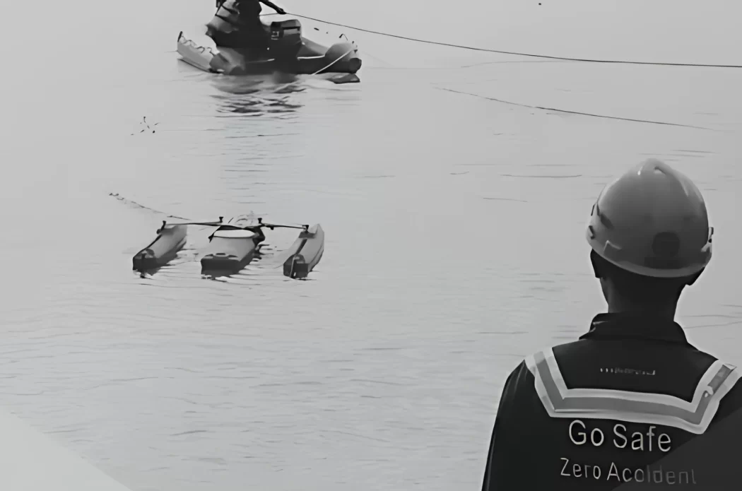
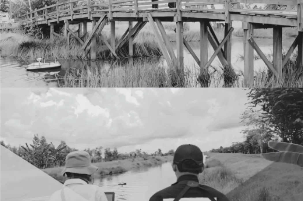
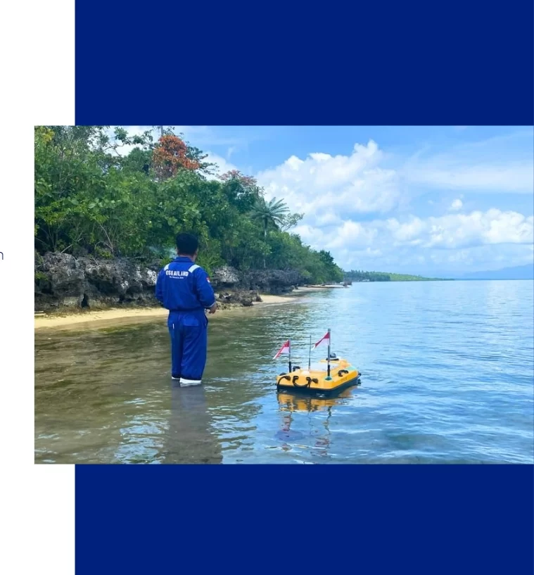
With years of experience, Oseanland Services Indonesia delivers tailored hydrographic survey solutions using advanced internal systems and cutting-edge equipment, including USV (Unmanned Surface Vehicle) SatLab HydroBoat, Teledyne Odom Hydrotrac II Singlebeam, Teledyne RD Instrument RiverRay ADCP, and AI-driven data optimization.
We specialize in integrating bathymetric, oceanographic, geophysical, and topographic components into a comprehensive service offering. Our end-to-end solutions cover survey preparation, data acquisition, dan processing, and final reporting.
Inland water, waterway, port, harbor, offshore site, we have the expertise and in-house resources to deliver reliable and precise results that meet every client’s project demands.
Topographic Survey
SERVICES
We provide accurate and detailed topographical surveys, delivering critical site information to support efficient project planning and development.
Utilizing the latest technologies, including robotic total stations, GNSS receivers, 3D laser scanners, and mobile mapping systems. Our expertise covers a wide range of sectors such as rail, highways, greenfield, and brownfield sites, supported by advanced Building Information Modelling (BIM) processes to create intelligent 3D models and detailed land visualizations.

Real-Time Monitoring
SERVICES
3D Mapping Survey
SERVICES
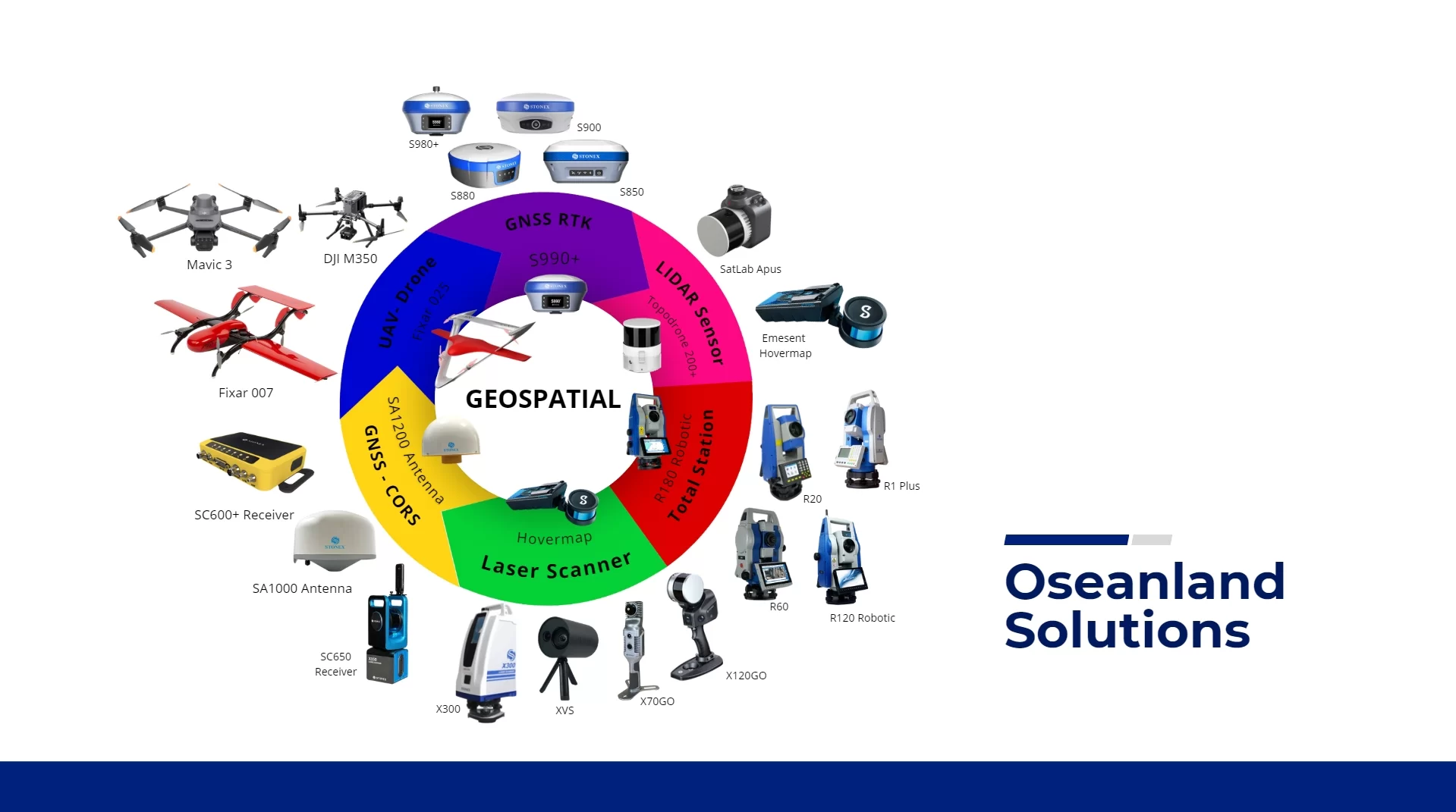
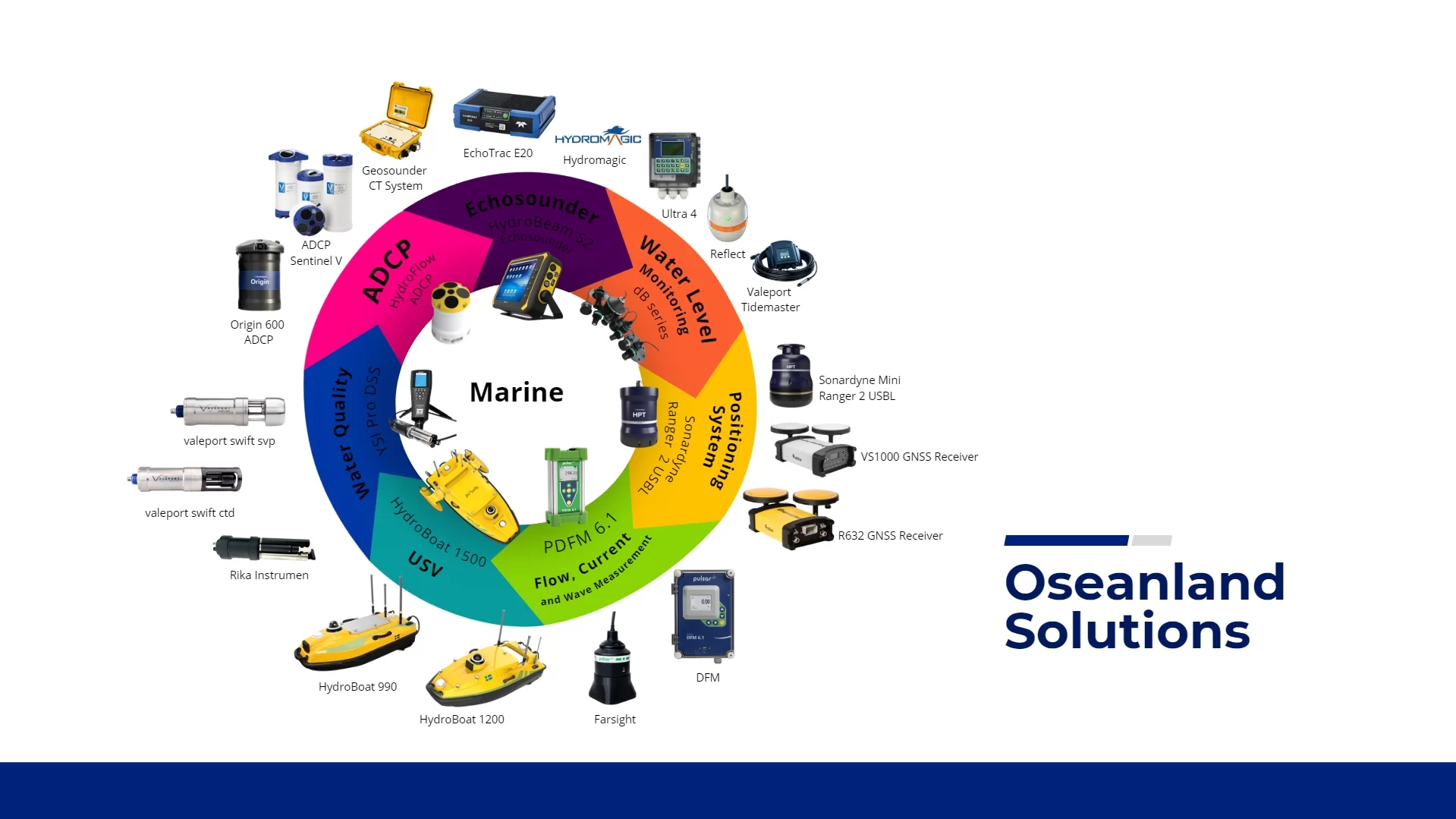
Fully Equipped, Fully Capable
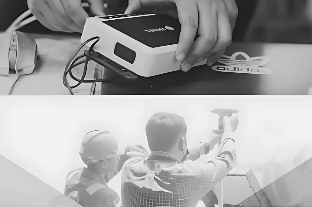
Our dedicated survey tools

Project Portfolio
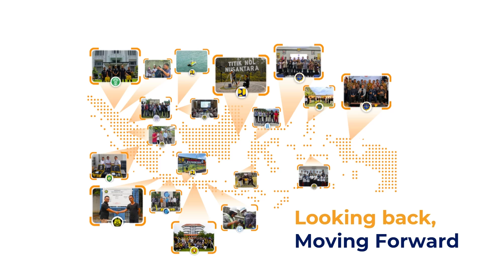
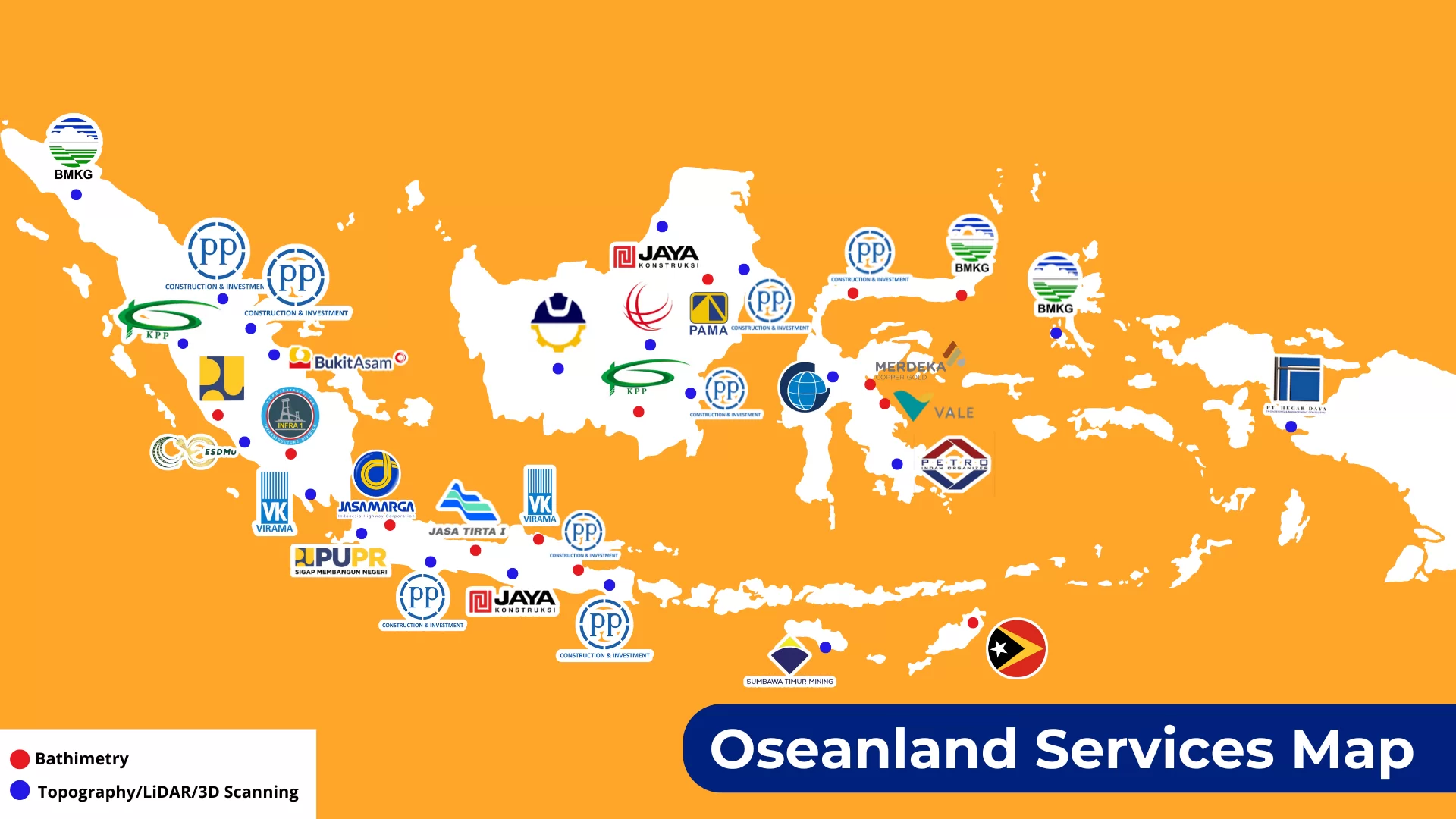
We are proud to present a brief list of significant projects handled across Indonesia, encompassing various sectors. To view our complete portfolio and detailed information for each project, please click the button below.
| No | Client Name | Project Name | Location |
|---|---|---|---|
| 1 | PT Vale Indonesia (2025) | Survei Batimetri, Pasang Surut, Arus & Gelombang | Morowali |
| 2 | PT Merdeka Copper Gold (2025) | Survei Batimetri Area Tambang | Morowali |
| 3 | PT Sumbawa Timur Mining (2025) | Survei Airborne LiDAR | NTB |
| 4 | ESDMu | Survei Topografi LiDAR | Bengkulu |
| 5 | PT Bukit Asam | Survei topografi | Sumatera Selatan |
| 6 | Badan Informasi Geospasial (2023) | Survei Garis Pantai Sulawesi Tenggara | Sulawesi Tenggara |
| 7 | Private Company (2023) | Survei Batimetri Pantai Sadawarna Banten untuk Pembangunan Pemecah Ombak | Banten |
| 8 | Jasa Marga (2023) | Survei Batimetri dan LiDAR untuk Pekerjaan Tol JORR 2 | JORR 2 |
| 9 | PT PP Infrastruktur (2023) | Survei Batimetri dan LiDAR untuk Project Mines of Bahodopi Block 2 | Bahodopi Block 2 |
| 10 | PT PP Infrastruktur (2024) | Survei Batimetri Sungai Jambi | Jambi |
| 11 | PT Pama Persada (2024) | Survei Batimetri Site Kalimantan | Kalimantan |
| 12 | PT Kalimantan Prima Persada (2024) | Survei Batimetri Site Kalimantan | Kalimantan |
| 13 | PT Virama Karya (2024) | Survei Batimetri Sungai Cipunagara Sepanjang 214 Km | Cipunagara |
| 14 | Perum Jasa Tirta I (2024) | Survei Batimetri Waduk Saguling | Waduk Saguling |
| 15 | BBWS Palembang | Survei Batimetri Sungai Sepanjang 4 Km | Palembang |
