Rent Survey Equipment
Oseanland Services Indonesia
Rent Survey Equipment
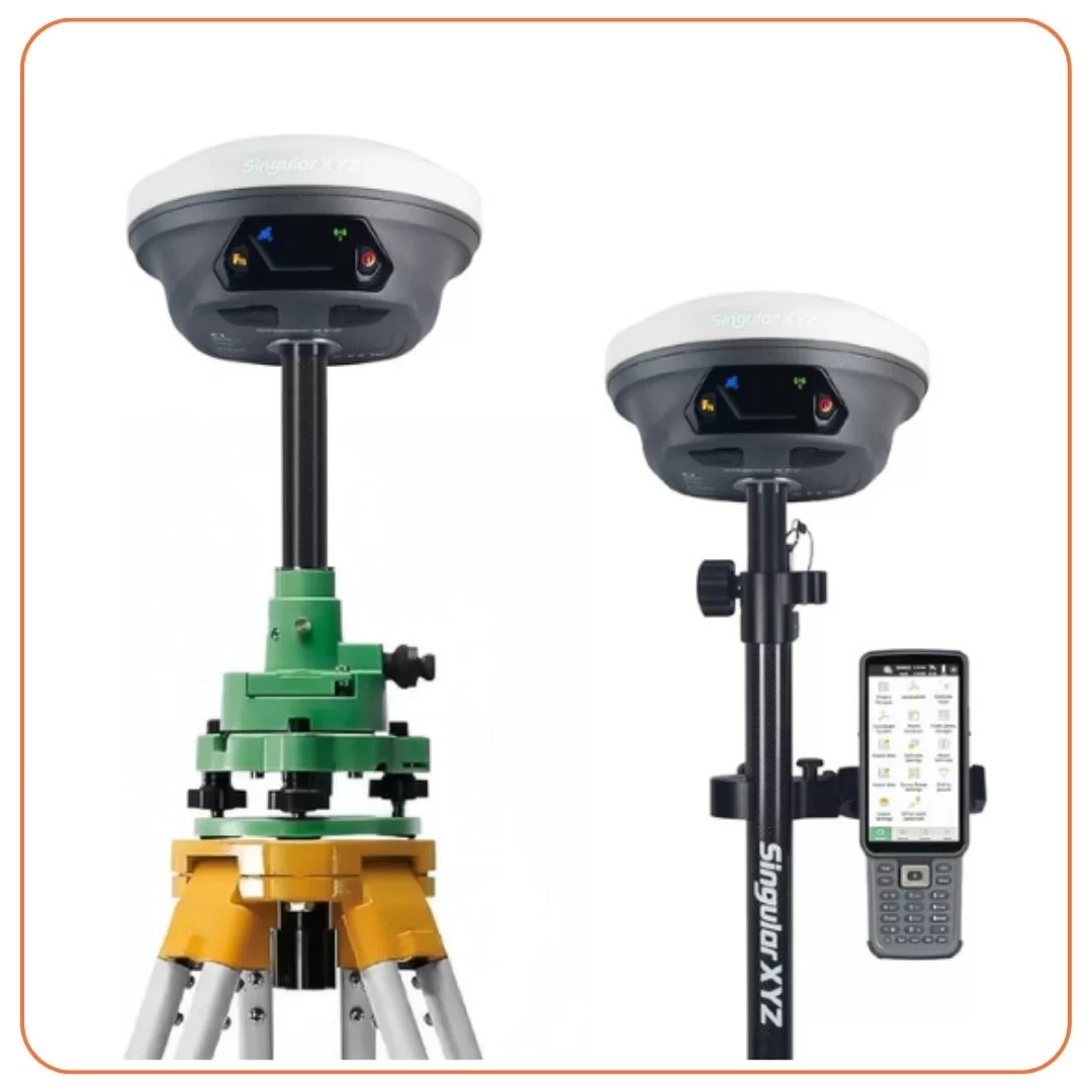
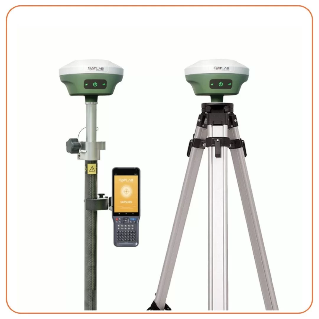
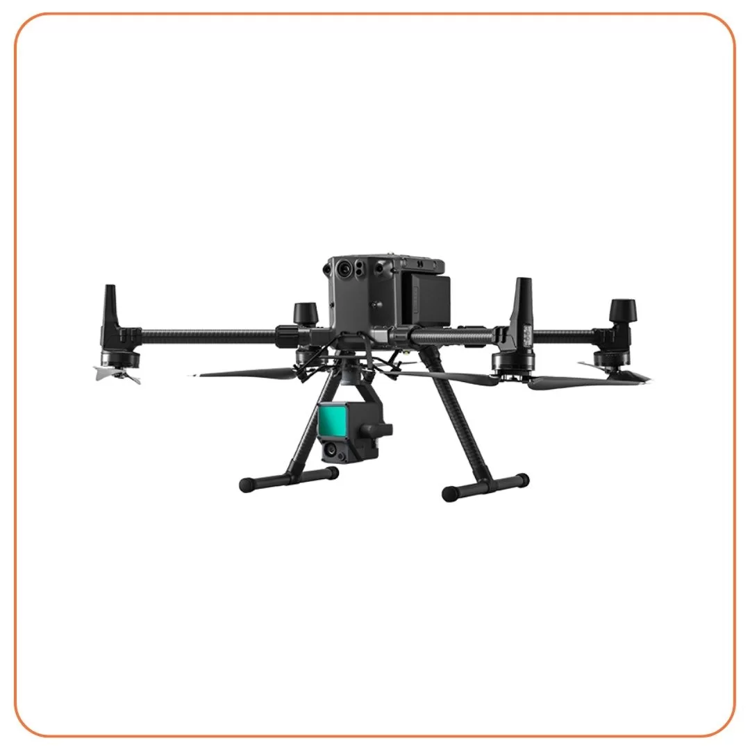
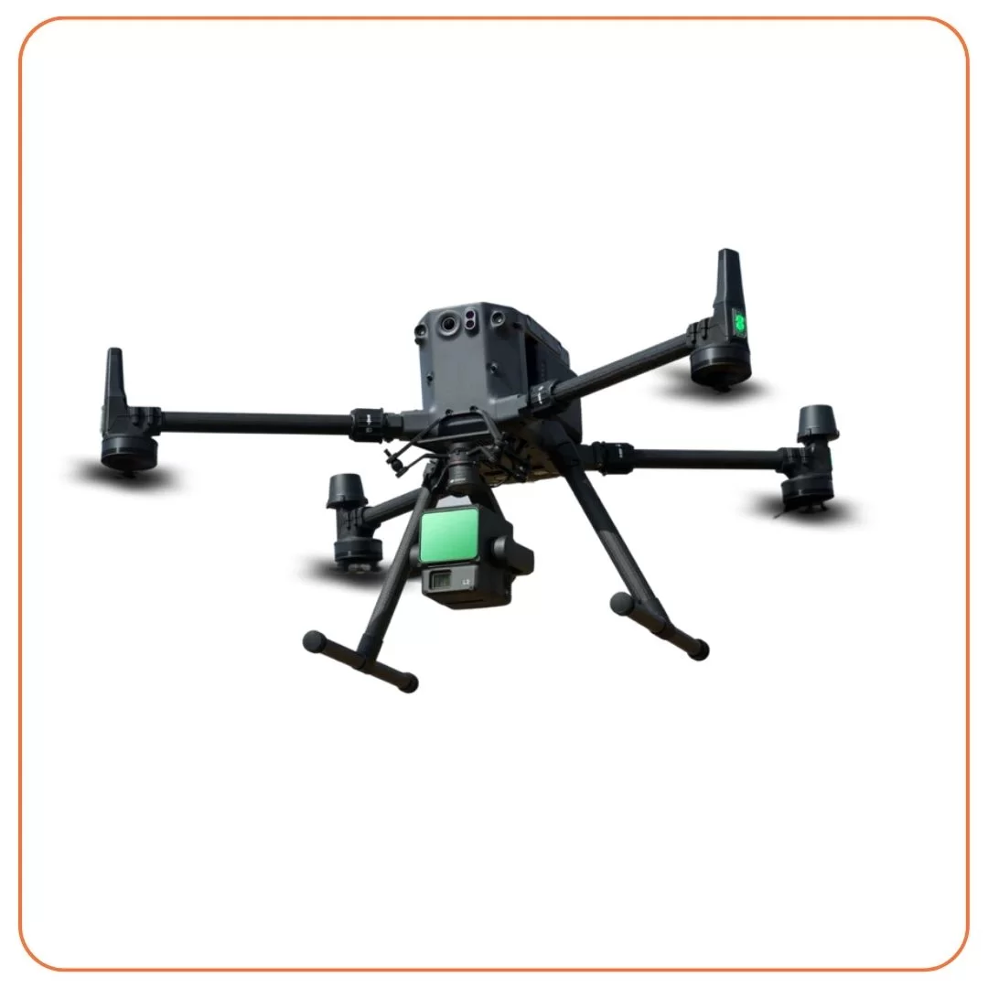
Oseanland Services Indonesia also provides a variety of survey tools for rent to clients. These tools include LiDAR, bathymetry, mapping, topography, and more.
Rent Survey Equipment
Rent Equipment mining marine agriculture land and structure monitoring GIS data collection construction industry land survey 3D scanning Oseanland Services Indonesia also provides a variety of survey tools ranging from LiDAR, bathymetry, mapping, topography, and others for rent by clients Various national agencies decided to rent survey tools at Oceanland Services Indonesia because they believe that we have the best quality tools, the latest technology, accurate and satisfying after rental services
Rent Survey Equipment
Oseanland Services Indonesia also provides a variety of survey tools for rent to clients. These tools include LiDAR, bathymetry, mapping, topography, and more.
Rent Survey Equipment
Oseanland Services Indonesia also provides a variety of survey tools for rent to clients. These tools include LiDAR, bathymetry, mapping, topography, and more.
Rent Survey Equipment
Oseanland Services Indonesia also provides a variety of survey tools for rent to clients. These tools include LiDAR, bathymetry, mapping, topography, and more.
Rent Survey Equipment
Oseanland Services Indonesia also provides a variety of survey tools for rent to clients. These tools include LiDAR, bathymetry, mapping, topography, and more.
Rent Survey Equipment
Oseanland Services Indonesia also provides a variety of survey tools for rent to clients. These tools include LiDAR, bathymetry, mapping, topography, and more.
Rent Survey Equipment
Oseanland Services Indonesia also provides a variety of survey tools for rent to clients. These tools include LiDAR, bathymetry, mapping, topography, and more.
Rent Survey Equipment
Oseanland Services Indonesia also provides a variety of survey tools for rent to clients. These tools include LiDAR, bathymetry, mapping, topography, and more.
Rent Survey Equipment
Oseanland Services Indonesia also provides a variety of survey tools for rent to clients. These tools include LiDAR, bathymetry, mapping, topography, and more.
Welcome to Oseanland Services Indonesia, your trusted partner in survey equipment rental. We offer a wide range of survey tools for various industries, including mining, marine, agriculture, land and structure monitoring, GIS data collection, construction, industry, land survey, and 3D scanning. Our commitment to providing high-quality tools, the latest technology, and excellent customer service has made us the preferred choice for national agencies and clients seeking accurate and efficient data collection
Mining
- LiDAR: Our LiDAR survey tools provide precise and detailed data for mining operations. They enable accurate mapping of terrain, vegetation, and infrastructure, allowing for efficient planning and resource management.
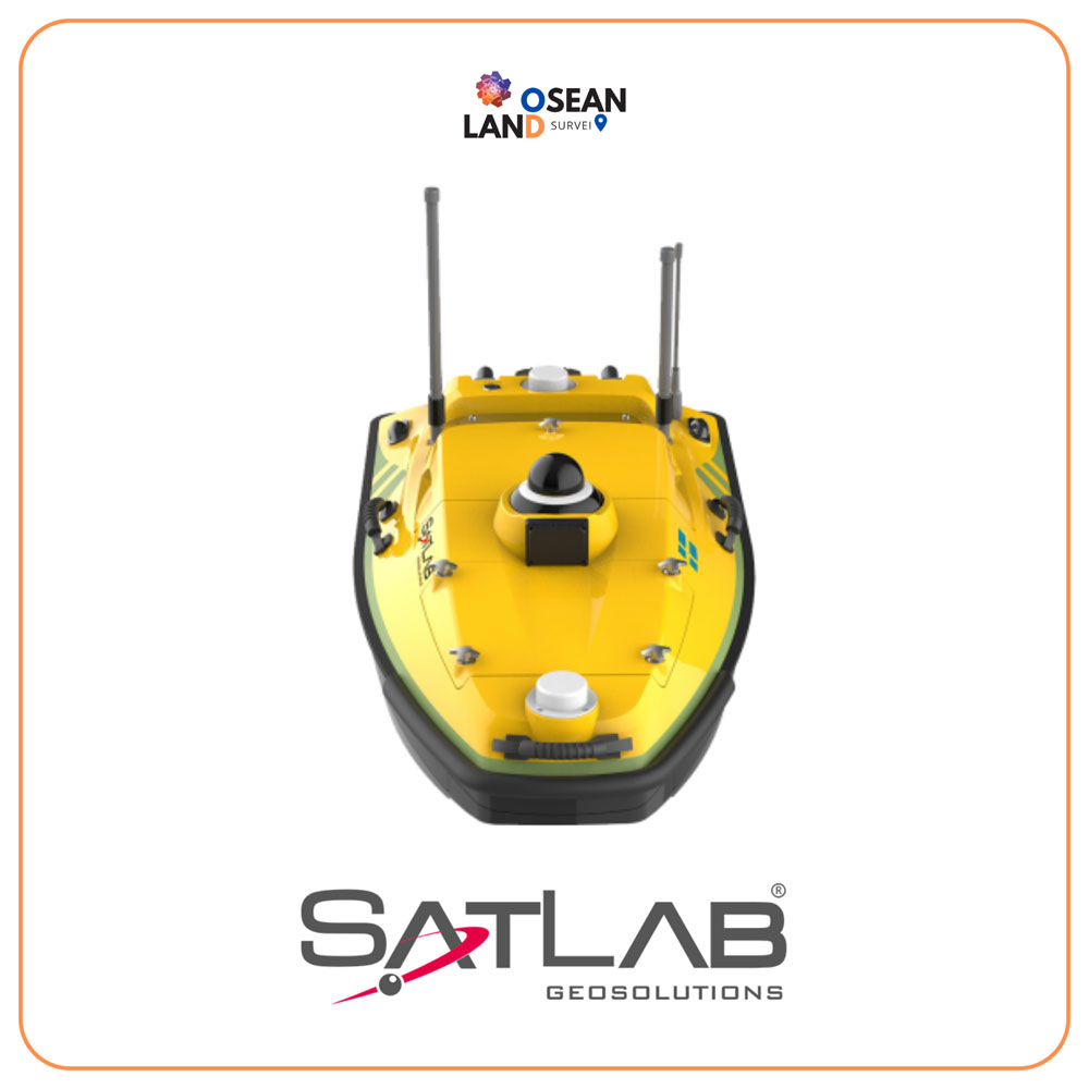
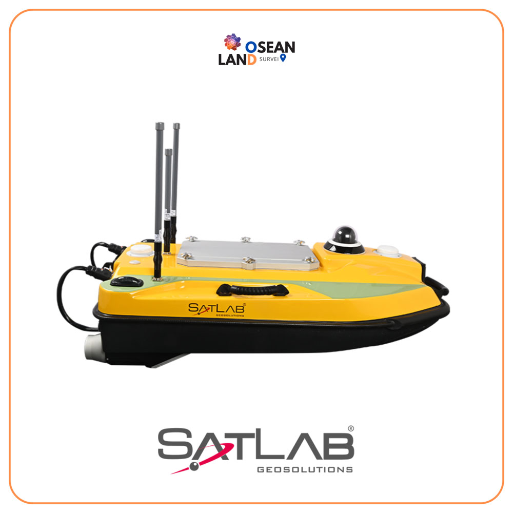
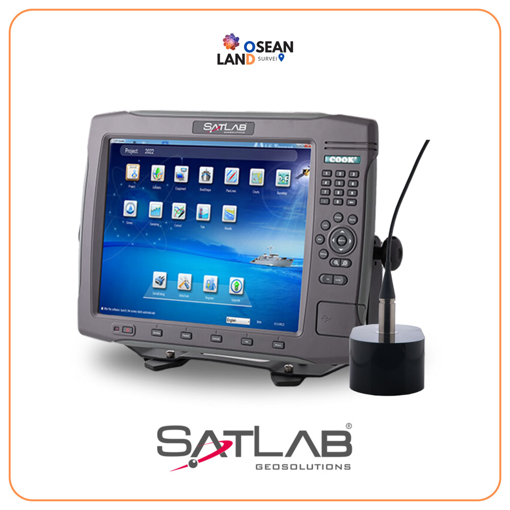
- Bathymetry: For mining activities involving underwater environments, our bathymetry equipment offers accurate depth measurements and mapping of underwater topography, ensuring safe and efficient operations.
Marine
- Mapping: Our mapping tools, including sonar and GPS systems, are ideal for marine surveys. They provide detailed underwater mapping, navigation support, and data collection for marine research, construction, and resource management.
- Bathymetry: Our bathymetry equipment is essential for marine surveys, offering accurate depth measurements for coastal mapping, port planning, and offshore infrastructure development.
Agriculture
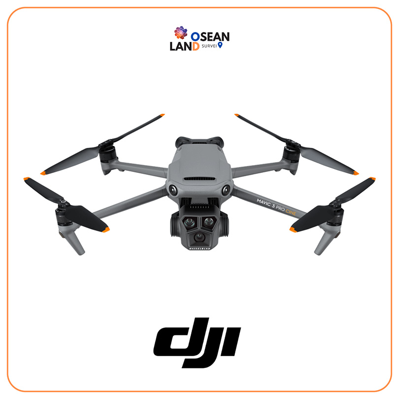
- Mapping: Our mapping tools, such as drones equipped with multispectral sensors, provide valuable data for precision agriculture. They enable monitoring of crop health, identification of nutrient deficiencies, and optimization of irrigation and fertilization practices.
- GIS Data Collection: Our GIS data collection tools help farmers and agricultural agencies gather accurate geospatial data for crop planning, land management, and decision-making
Land and Structure Monitoring
- Topography: Our topography equipment allows for precise land surveys, mapping, and contouring. It is essential for construction projects, infrastructure planning, and land development.
- Structural Monitoring: We offer tools for monitoring the structural integrity of buildings, bridges, dams, and other structures. These tools provide real-time data on factors such as deformation, vibration, and temperature, ensuring early detection of potential issues
GIS Data Collection
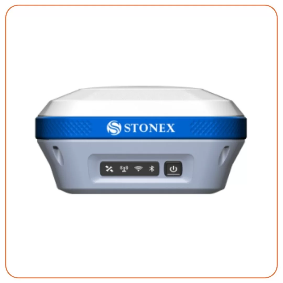
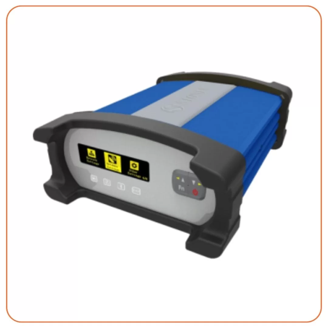
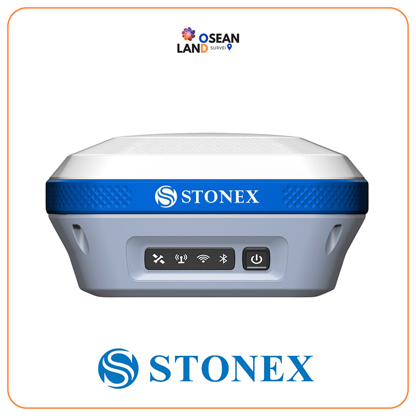
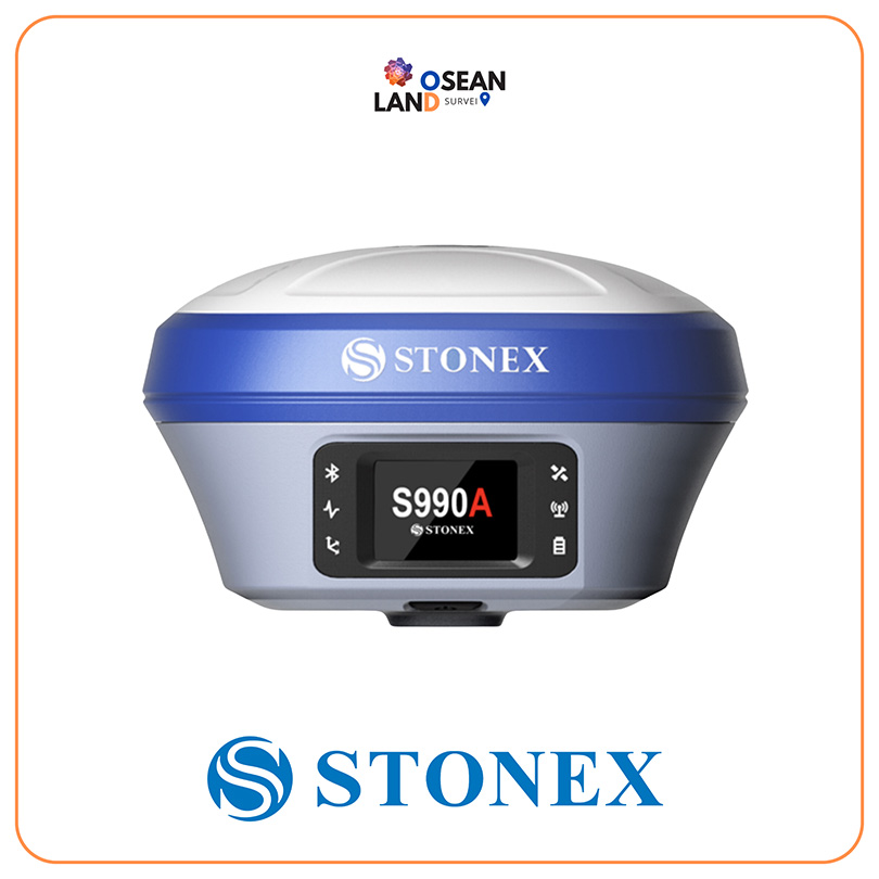
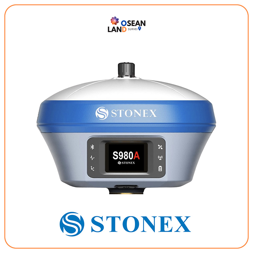
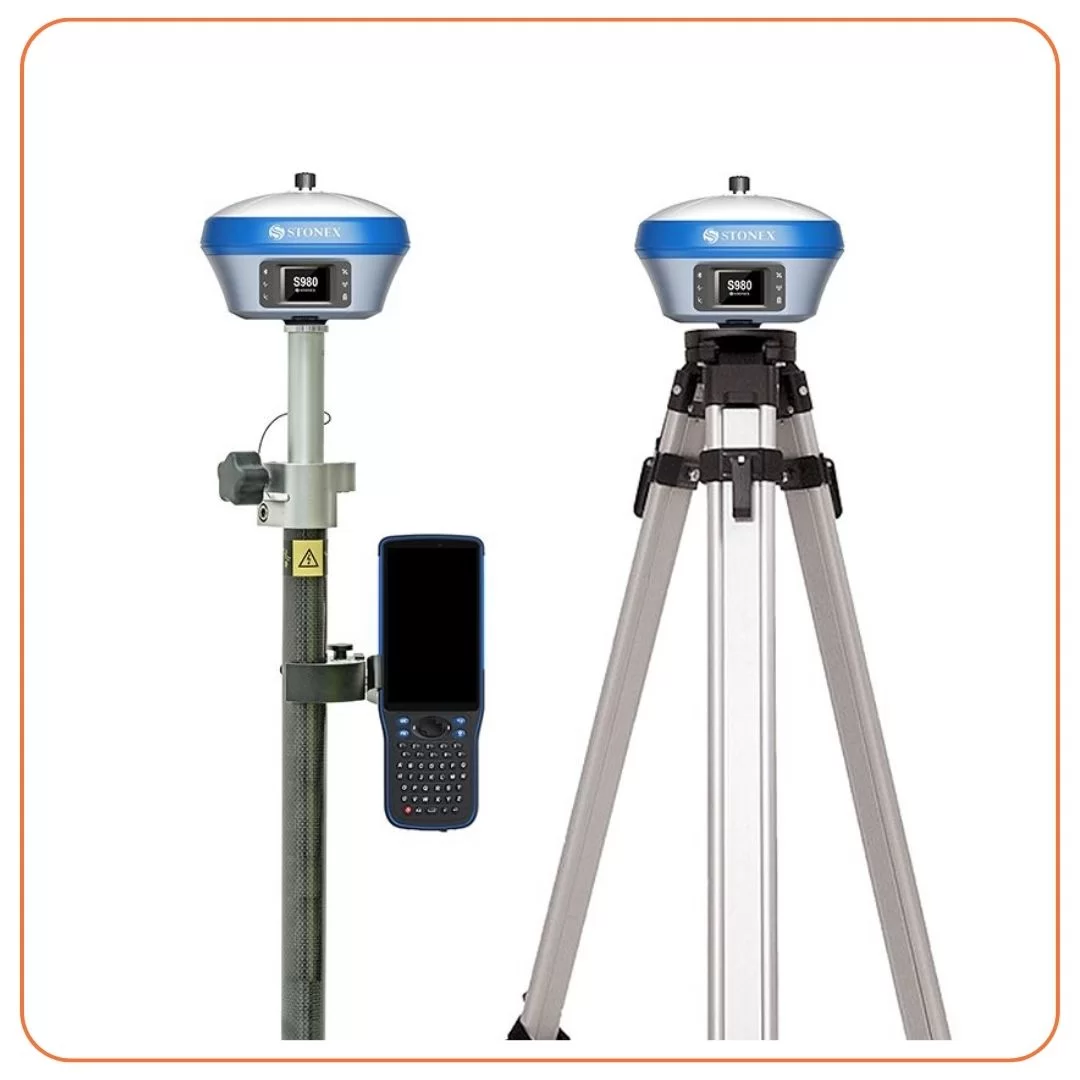
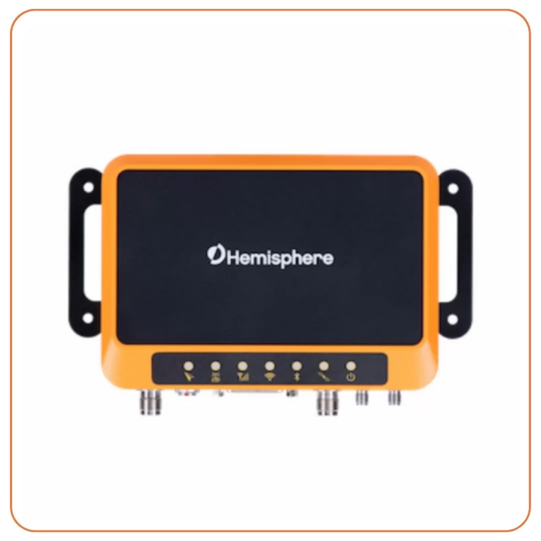
- GPS Systems: Our GPS systems enable accurate positioning and data collection for GIS applications. They are essential for mapping, asset management, and field data collection for various industries.
Construction and Industry
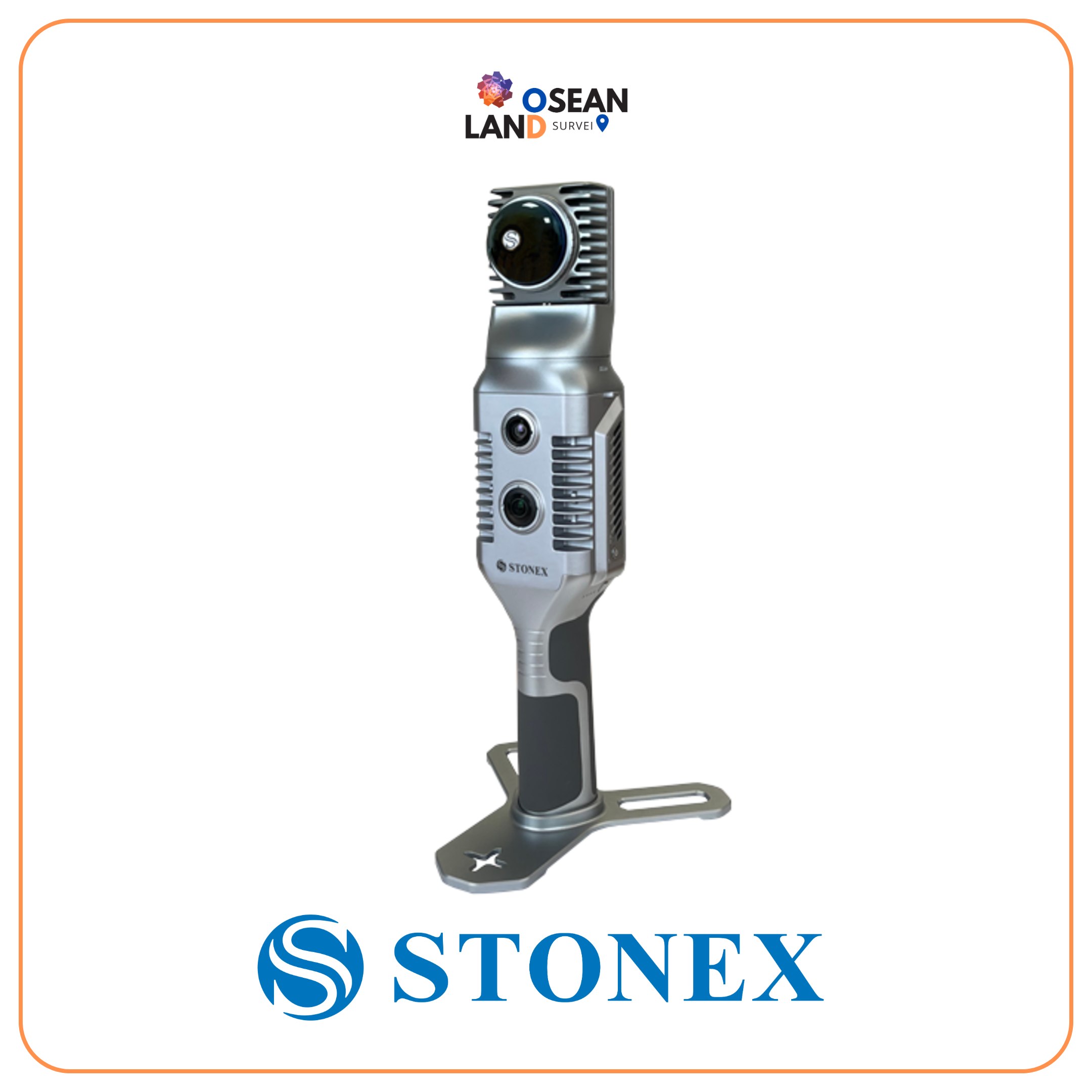
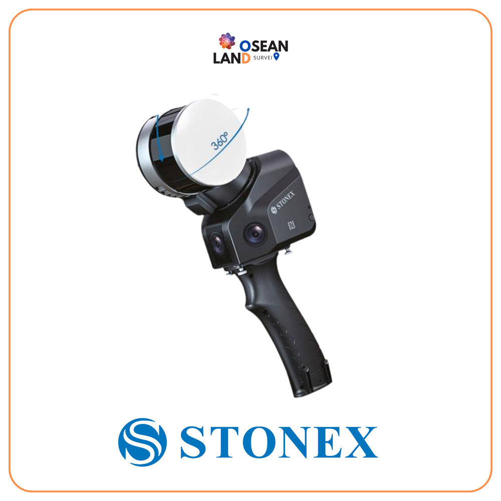
- 3D Scanning: Our 3D scanning equipment captures detailed and accurate representations of objects, structures, and environments. It is widely used in construction, architecture, engineering, and industrial applications for design, documentation, and quality control purposes
Oseanland Services Indonesia offers a comprehensive range of survey tools for rent, catering to various industries’ needs. Our high-quality equipment, latest technology, and excellent after-rental services have earned us the trust of national agencies and clients. Whether you require tools for mining, marine surveys, agriculture, land and structure monitoring, GIS data collection, construction, industry, land survey, or 3D scanning, we have the right equipment to ensure accurate and efficient data collection. Contact us today to discuss your survey equipment rental needs and benefit from our expertise and reliable tools.
Call For More Info +6281 1211 7987