
Topographic Survey Services
Oseanland Services Indonesia
Topographic Survey Services
Welcome to Oseanland Services Indonesia, a leading geospatial consultant providing customized topographic survey services for optimal location understanding. Our skilled team of surveyors offers a range of services, from basic assessments to comprehensive CAD plans, utilizing state-of-the-art survey technology.
With a commitment to accuracy and efficiency, we cater to land survey needs both in Indonesia and internationally.
Land Survey Services
- Public and Private Sectors: We provide land survey services for clients from both the public and private sectors, encompassing various types of projects.
- Comprehensive Surveys: Our services cover a wide range of developments, including commercial and residential projects, highways, bridges, utilities, water channels, and property acquisitions.
- Experienced Surveyors: Our experienced surveying team ensures accurate and reliable survey results for every project.
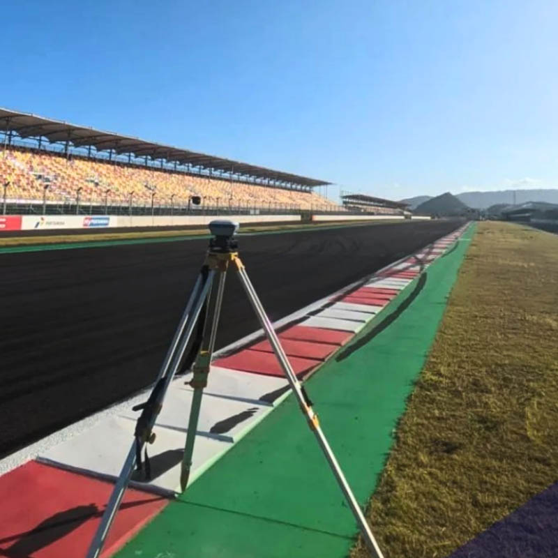
Cutting-edge Survey Technology
- Reflectorless and Robotic Total Stations: We employ advanced reflectorless and robotic total stations for highly precise measurements, even in challenging environmental conditions.
- Precision GNSS Receivers: The use of precision GNSS receivers ensures accurate positioning and real-time data collection for reliable survey results.
- 3D Laser Scanning: We utilize the latest 3D laser scanning technology to produce detailed and accurate representations of existing structures and landscapes.
Cost-effective and Timely Services
- Innovative Approach: Our team always applies unique approaches and the latest technologies to provide cost-effective and timely survey services without compromising the quality of deliverables.
- Survey Cost Reduction: Through practical innovation and efficient workflows, we strive to reduce survey costs without sacrificing the quality of our deliverables.
- Fast Project Completion: Leveraging our expertise and advanced technology, we expedite project completion to deliver timely results to our clients
Diverse Survey Services
- Boundary Surveys: We conduct boundary surveys to determine property lines and legal boundaries.
- Control Surveys: Our control surveys provide precise reference points for other survey activities, ensuring accuracy in subsequent measurements.
- As-Built Surveys: We perform as-built surveys to verify that constructed elements align with the intended design.
- Construction Stakeout: Our surveyors provide construction stakeout services to accurately position structures and infrastructure during the construction phase.
- Hydrographic Surveys: We conduct hydrographic surveys to map water bodies and collect data on depth, currents, and underwater topography.
- Infrastructure Layout: Our services include the layout of infrastructure elements such as roads, utilities, and buildings.
- 3D Laser Scanning: We utilize 3D laser scanning technology to generate detailed representations of existing structures and landscapes.
- Utility Identification and Location: Our surveyors have expertise in identifying and locating underground utilities for safe excavation and construction.
- Survey Plan Preparation: We compile comprehensive survey plans to meet project requirements.
At Oseanland Services Indonesia, we take pride in providing comprehensive and high-quality topographic survey services. With our experienced team and cutting-edge technology, we are ready to assist you in your land development projects. Contact us today for reliable and accurate survey solutions.
Call For More Info
+6285121215890