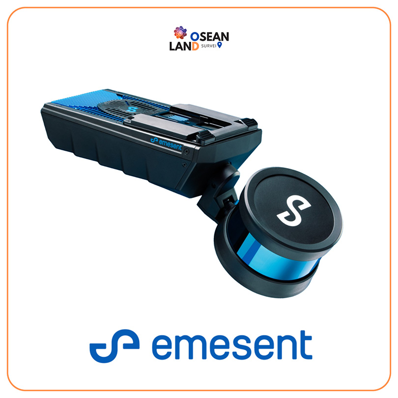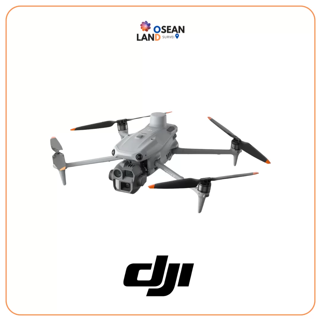
Emesent Hovermap
Emesent Hovermap
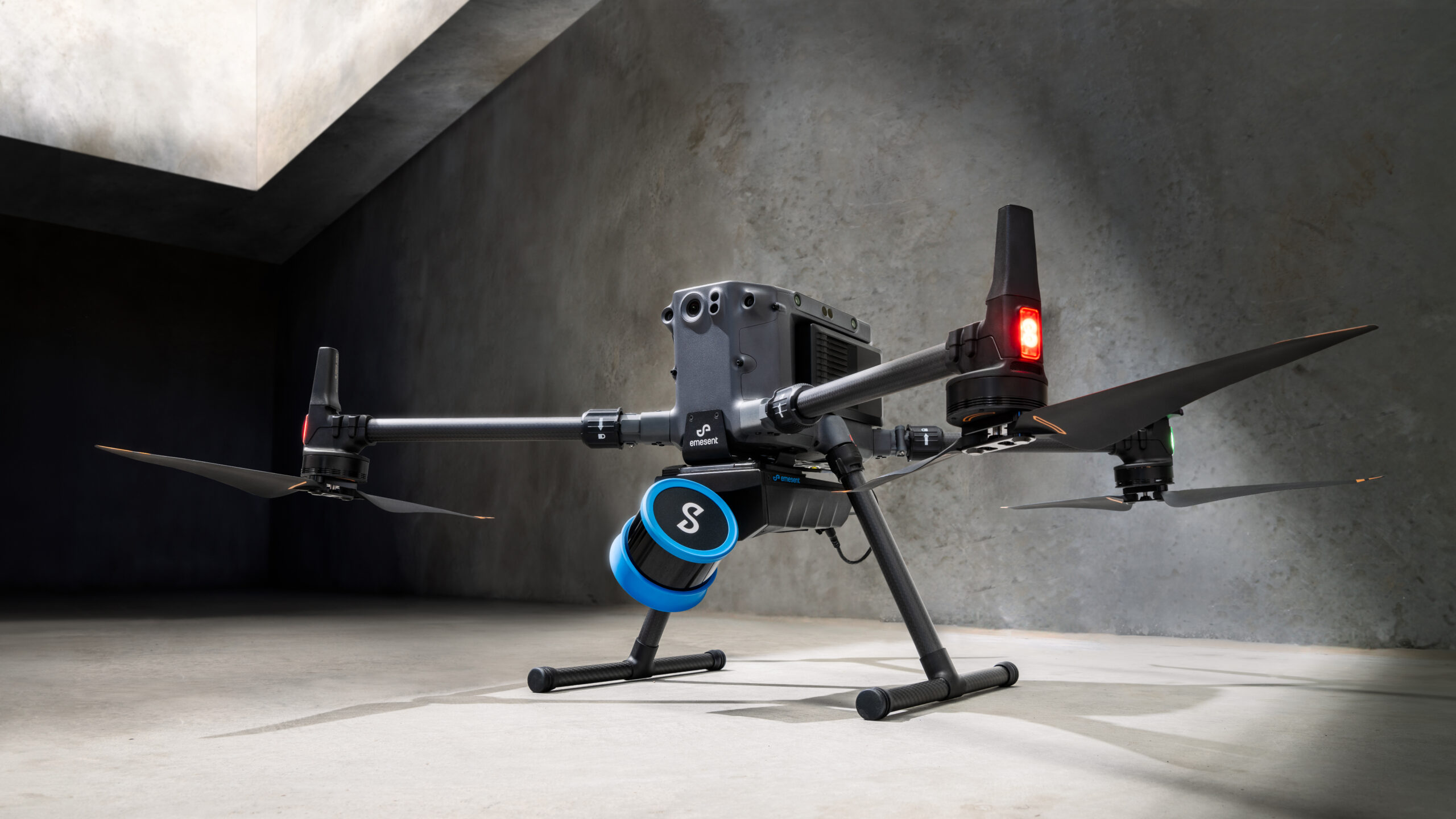
Hovermap incorporates the latest in LiDAR sensing technology to offer high density point clouds with exceptional coverage. Featuring a sensing range of up to 300 meters and more than a million points per second, Hovermap captures detailed, accurate data over a wide area fast – accelerating your time to insight.
What makes Hovermap Different?
- Single Payload
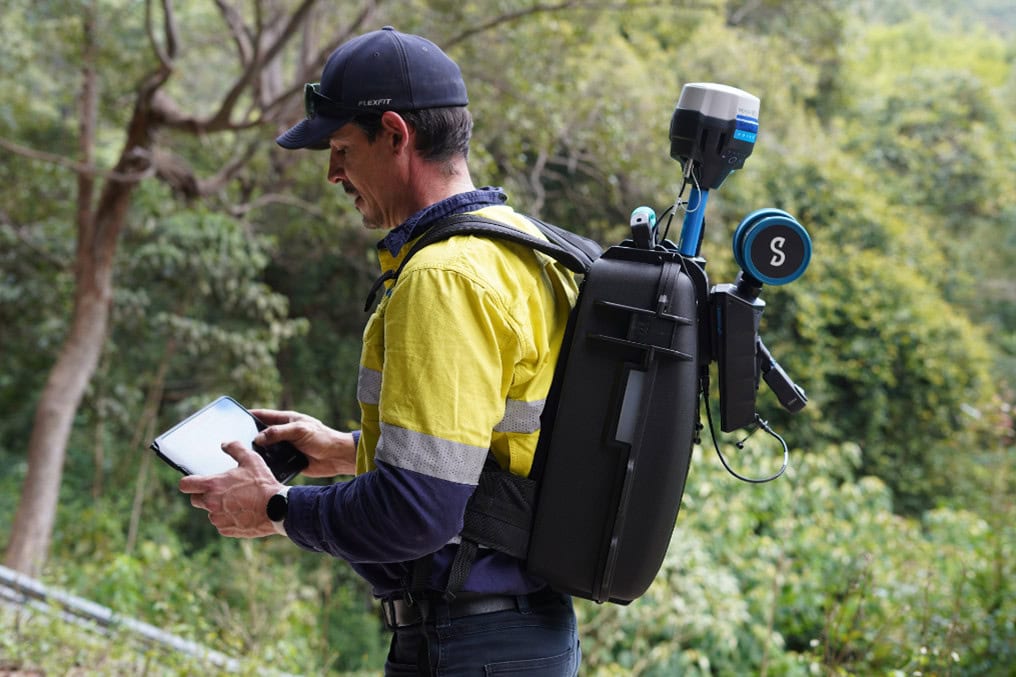
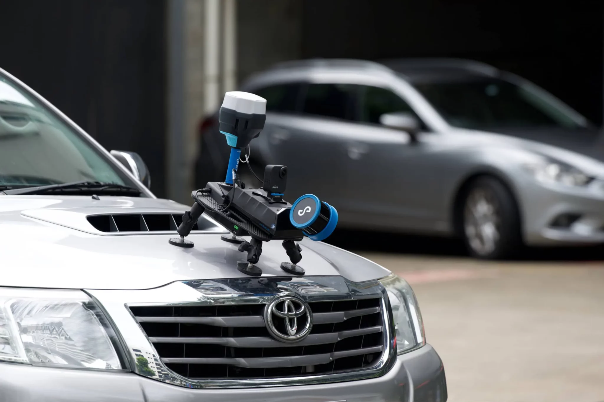
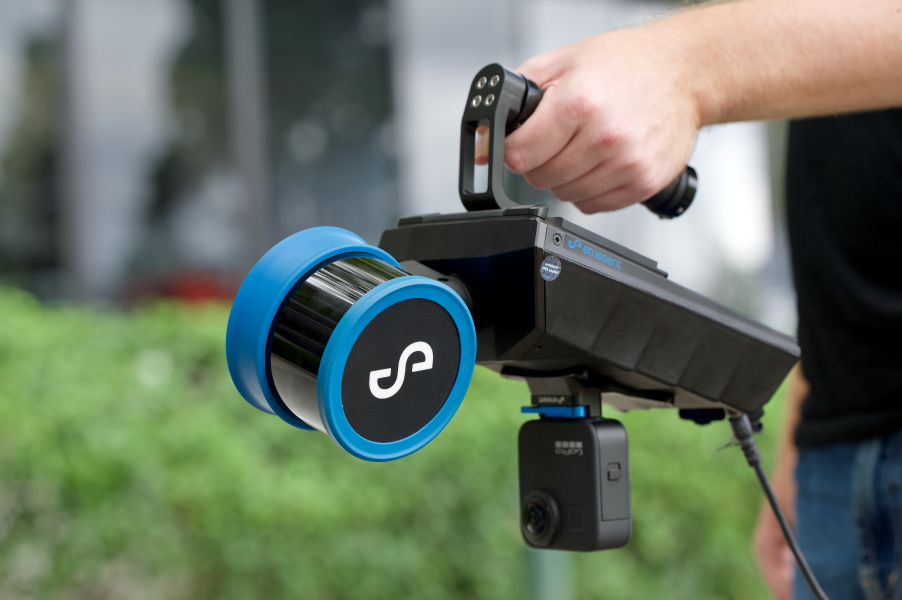
- High versatility
- Very high data quality. Clean, high resolution and accurate data.
- Hovermap is extremely easy to learn/use
- Plug & Play Device
- Upgrade Autonomy Levels without upgrading Hardware
THE AWARD-WINNING HOVERMAP SERIES
FAST, ACCURATE, HIGH-DETAIL MOBILE DATA CAPTURE.
Hovermap incorporates the latest in LiDAR sensing technology to offer high density point clouds with exceptional coverage. Featuring a sensing range of up to 300 meters and more than a million points per second, Hovermap captures detailed, accurate data over a wide area fast – accelerating your time to insight.
DESIGNED FOR TOUGH MISSIONS
All Hovermaps in the ST product range are designed with the tough, lightweight, IP65 weather sealed design giving you the confidence to capture harsher areas. The award winning Wildcat SLAM solution and Emesent autonomy algorithms ensure safety for the drone and asset, even in hazardous, GPS-denied environments.
Emesent Aura, the integrated processing and visualization software, and its Automated Ground Control feature further increases the accuracy of Hovermap point clouds and enhance the capabilities of its SLAM-based mapping.
