Success Stories
Explore how our survey, mapping, and structural monitoring solutions — powered by LiDAR, drone photogrammetry, and real-time wireless sensors — help clients tackle real-world challenges across infrastructure, mining, and environmental projects throughout Indonesia.
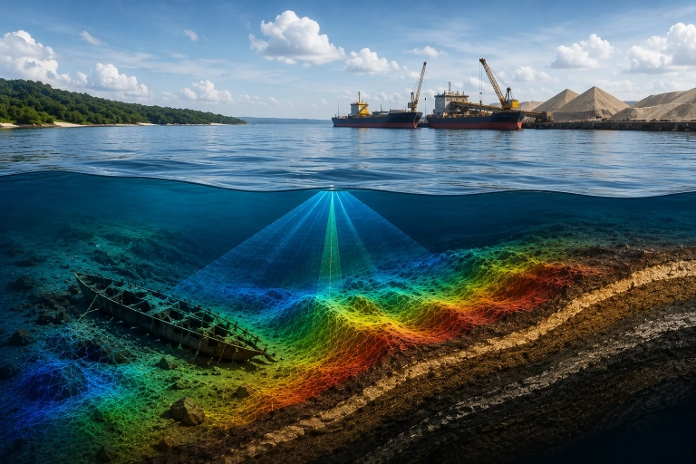
Mining
Survei Batimetri Pertambangan Timah Lepas Pantai Menggunakan Multibeam Echosounder
 Bangka, Indonesia
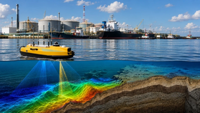
Marine & Water Resources
Monitoring Sedimentasi Pelabuhan dengan Survei Batimetri Berbasis USV untuk Mendukung Operasional Oil & Gas
Indonesia
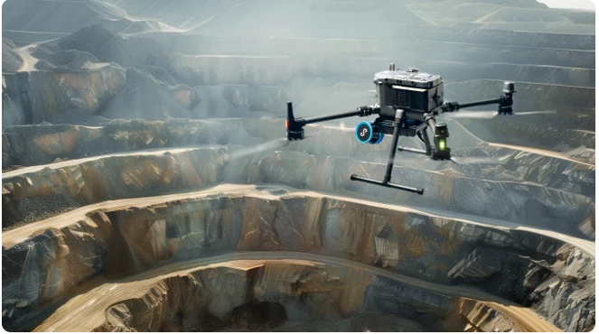
Underground Mining
3D Modelling of Underground Mining Tunnels Using the Emesent Hovermap ST-X Autonomous SLAM LiDAR
Indonesia
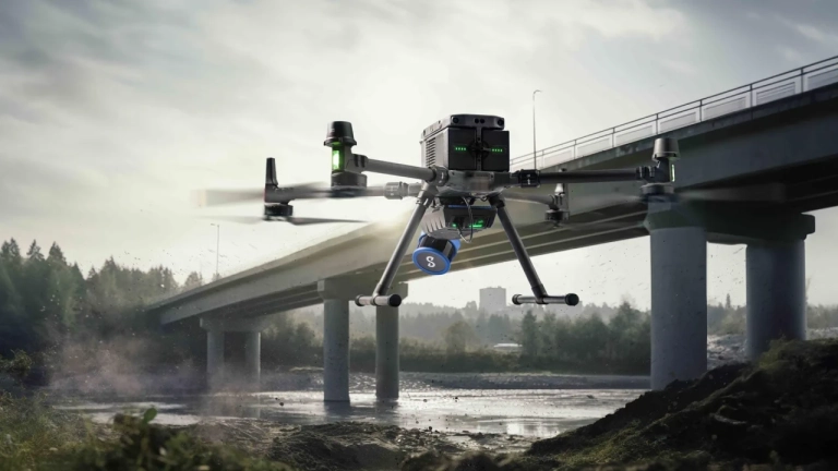
Bridge Structure Inspection
Pemodelan 3D untuk Inspeksi Struktur Bawah Jembatan Menggunakan Integrasi Drone Fotogrametri dan SLAM LiDAR
Indonesia
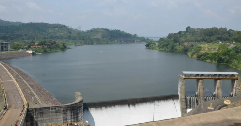
Monitoring Eceng Gondok
Monitoring Luasan Eceng Gondok Menggunakan VTOL LiDAR untuk Mendukung Pengelolaan Waduk Saguling
Jawa Barat
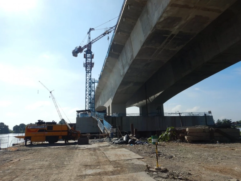
Monitoring Tiang Pancang
Monitoring Kemiringan Tiang Pancang Real-Time dengan Wireless Tiltmeter
Indonesia